Maps and Brochures
Maps
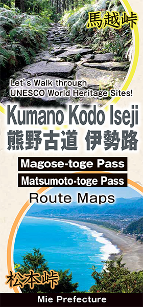
Kumano Kodo Iseji Maps
(Magose-toge Pass , Matsumoto-toge Pass)
This map introduces “Magose-toge Pass” and “Matsumoto-toge Pass,” two especially popular trails on the Kumano Kodo Iseji, along with surrounding sightseeing spots.
This route map is perfect for walking through nature.
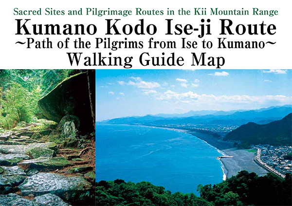
Kumano Kodo Iseji Walking Guide Map
This guide map introduces a total of 24 courses including the Kumano Kodo Iseji.
In addition to the walking routes and must-see spots, this map also includes useful information such as distance, walking time, and walking difficulty level among other things for each course.
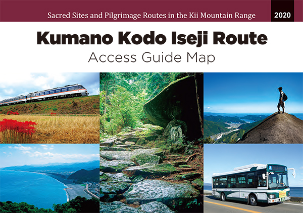
Kumano Kodo Iseji Access Guide Map
This access guide map has the following advantages.
Features one day trip for each town or pass from Nagoya or Shingu.
Features recommended spots and places easy to get lost in each route.
You can see the updated timetable for bus and train.
You can see main bus route in Kumano Kodo Iseji.

KUMANO KODO ISEJI Pilgrimage Route Maps (North)
This route map features information to walk through Kumano Kodo Iseji,such as 'Route guide','Helpful tips' and 'Model Itineraries' and so on.
(Ise city~Taiki town)

KUMANO KODO ISEJI Pilgrimage Route Maps (Central)
This route map features information to walk through Kumano Kodo Iseji,such as 'Route guide','Helpful tips' and 'Model Itineraries' and so on.
(Taiki town~Kumano city)
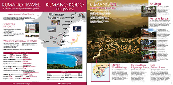
KUMANO KODO ISEJI Pilgrimage Route Maps (South)
This route map features information to walk through Kumano Kodo Iseji,such as 'Route guide','Helpful tips' and 'Model Itineraries' and so on.
(Kumano city~Kumano Sanzan(There Grand Shrines of Kumano)
Brochures
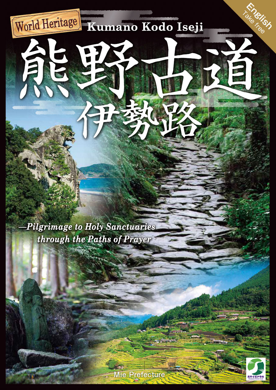
World Heritage Kumano Kodo Iseji
This brochure features the many attractions of Kumano Kodo Iseji,such as the must-see sites and foods to make your trip more enjoyable.
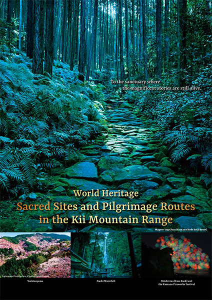
World Heritage Sacred Sites and Pilgrimage Routes in the kii Mountain Range
The “Sacred Sites and Pilgrimage Routes along the Kii Mountain Range” span three prefectures: Mie, Nara, and Wakayama. This brochure introduces you to recommended routes, must-see sites, local cuisine, and specialties for each area.
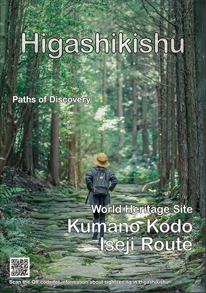
Higashikishu
This brochure introduces the many mountains, villages, rivers, and sea-side attractions along the Kumano Kodo Iseji Route in the Higashikishu region, including hot springs, local food and specialty goods.
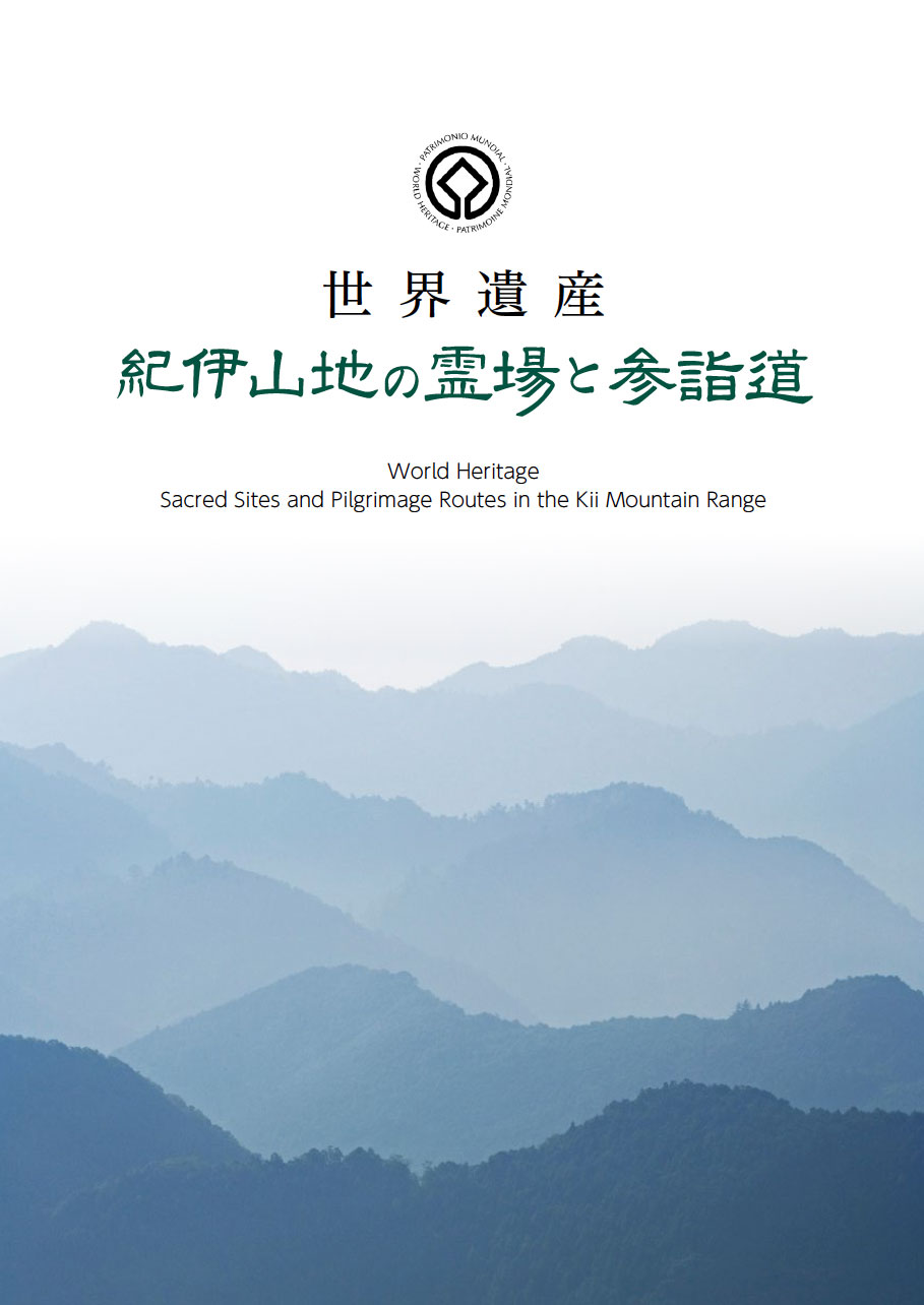
World Heritage Sacred Sites and Pilgrimage Routes in the Kii Mountain Range (Written in both Japanese and English)
This is a leaflet about the World Heritage Site "Sacred Sites and Pilgrimage Routes in the Kii Mountain Range".
